Agriculture
Home >> Agriculture
Menu
Sustain, Protect, & Promote Agriculture
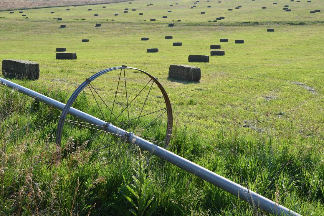
Agriculture is an important part of the Colorado Basin’s economy and way of life. Cattle production makes up the largest share of the basin’s agricultural economy, and significant acreage is dedicated to growing forage to support this sector. Other crops include feed and cereal grains and a large variety of fruits, vegetables, wine grapes and other specialty crops. Agriculture in the basin frequently faces irrigation water shortfalls, and much of the irrigation infrastructure is aging and in need of upgrades.
The desire to sustain, protect and promote agriculture is one of the themes of the Basin Implementation Plan developed by the Roundtable as part of the process of developing Colorado’s Water Plan. The Roundtable has allocated grant funding to numerous projects to address agricultural water needs. These include assessments of irrigation infrastructure and reservoir feasibility reports.
Helpful resources on Colorado River Basin agriculture:
- Information on agriculture across Colorado and agricultural assistance programs, included those operated by regional Conservation Districts, can be found on the Colorado Department of Agriculture website.
- Colorado State University’s College of Agricultural Sciences conducts research on new crop possibilities, irrigation and pest control strategies at several Western Colorado research stations under the umbrella of the Western Colorado Research Center.
- The Resource Conservation Partnership Program in the federal farm bill designated the Colorado River Basin (not just in CO) as a “Critical Conservation Area,” opening up new avenues for funding.